104
views
views
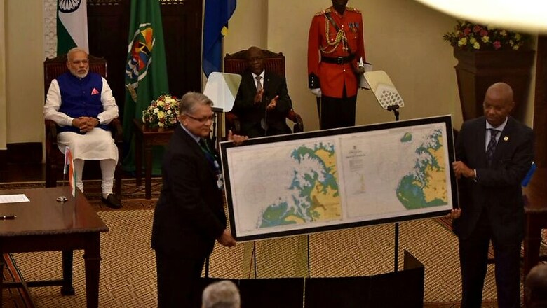
Navigational charts for Mkoani harbor in Tanzania have been prepared by National Hydrographic Office of India.
Dar-es-Salaam: India on Sunday handed over to Tanzania a navigational chart of the east African country's Mkoani harbour which will be used by port authorities and ships for the navigation operation.
"Indian Hydrographic Survey Ship, 'INS Sutlej' had conducted a joint hydrographic survey of Mkoani harbour, Tanzania in early 2016," Office of the Prime Minister of India tweeted.
It said the chart will be used by port authorities and ships in the harbour and nearby areas for the purpose of navigation.


Comments
0 comment