
With an aim to enhance connectivity in Ladakh near the Line of Actual Control (LAC), India will build a new 55-km national highway between Changchenmo and Tsogtsalu. For this new road, the National Highway & Infrastructure Development Corporation (NHIDCL) has sought proposals for a detailed project report (DPR).
The request for proposal, issued this week, seeks a consultancy service to establish the technical, economic, and financial viability of the project and prepare detailed project reports for the single-lane national highway.
Strategic significance
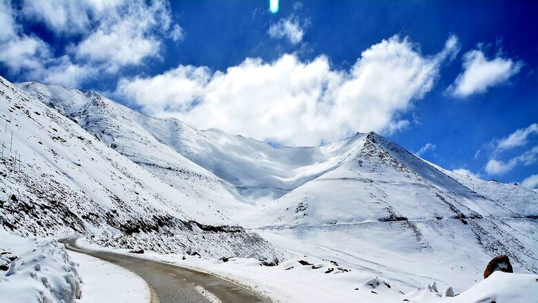
Situated close to the India-China border near the southern edge of Aksai Chin, the Changchenmo region is strategically very important for India. Located in the north of Pangong Lake, the new road will help strengthen support for the Changchenmo sector. The new road will also be critical in terms of road linkages to Leh.
“Only Indian firms are allowed to participate in the bid and no international bidder is eligible as individually or as a member of a joint venture or as an associate,” the document, seen by News18 reads.
The selected firm will have a 10-month period for completion of the report.
As part of the India-China Border Roads, the 55-km highway will have a 700-metre tunnel.
The document also says that the NHIDCL will be the employer and executing agency for the consultancy services. Further, the standards of output required from the appointed consultants are of international level both in terms of quality and adherence to the agreed time schedule.
“The consultancy firm will solely be responsible for submission of quality work in the stipulated period,” it said.
The viability of the project will be established by taking into account a lot of things, including the requirements with regard to rehabilitation, upgrading, and improvement based on highway design, pavement design, and provision of service roads wherever necessary.
It will also count the type of intersections, rehabilitation and widening of existing and/or construction of new bridges and structures, road safety features, quantities of various items of works, cost estimates, and economic analysis within the given time frame.
“The DPR would include detailed highway design, design of pavement and overlay with options for flexible or rigid pavements, design of bridges and cross drainage structures and grade-separated structures,” the document reads.
It will include the design of service roads, quantities of various items, detailed working drawings, detailed cost estimates, economic and financial viability analyses, environmental and social feasibility, and social and environmental action plans.
The bid due date is November 28.
Why is the location crucial?
Changchenmo means “great northern” in Tibetan. Also known as Chang Chenmo, it is situated between the Karakoram range and Changchenmo range in Leh. The Changchenmo sector is near the patrolling point of the Indian Army.
On the other end of the proposed road is Tsogtsalu, a camping ground and a pasture in the Changchemno Valley. Also situated in Leh, Tsogtsalu had been a halting point for Central Asia travellers since the time of the Britishers.
Situated near the border in the north of Pangong Tso, Tsogtsalu also houses an Indian Army camp. The border outpost here has been established after Independence.


Comments
0 comment