views
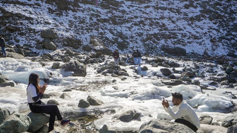
It is the peak of winter in North India. But even as bitter cold conditions grip the plains, the hills across the lower Western Himalayan range are devoid of their yearly bounty of snow. Unlike every year, when tourists throng these popular hill stations to catch a glimpse of the snow-covered hills glistening under the glorious winter sunshine, they are returning disappointed.
“There isn’t enough snow. In fact, this is the third such year when there has been a deficit. Except for 2021, the amount of snow that we usually get around December-January has been on decline. We did not have any significant spell, and there is a dim possibility over the coming week too,” says Surender Paul, who heads the weather department in Shimla.
The scenario is similar across all major hill stations of Himachal Pradesh – from Manali to Shimla, and the neighbouring Uttarakhand. “It has not rained at all,” echoes Bikram Singh, who heads India Meteorological Department (IMD), Dehradun. “It has been a very dry winter. We do see such scenarios on and off, but this year, the shortfall in December-January seems high. Winter rain is crucial for the soil moisture and the Rabi crops,” he adds matter-of-factly.
WHERE DID THE SNOW GO?
The winter has been dominated by higher-than-normal temperatures this year. The IMD also forecast a significant fall in the number of cold days/cold waves this season. The year 2023 also ended as the second-warmest year on record for India in over a 100 years with annual average land-surface temperatures 0.65 degrees warmer than normal, and a strong El Niño fuelling the rise in temperatures worldwide.
“The snowfall has been quite less this year. It is true. This has been primarily because of the absence of strong Western Disturbances (WD). If these systems are intense, they will bring rain in the plains, and snow uphill, but there hasn’t been any major activity this time,” says Director-General of Meteorology Dr M Mohapatra. “There is an overall warming trend, we cannot rule that out.”
But even as Himachal Pradesh and J&K reels under a snow-drought, the Hindu-Kush Himalayas in the neighbouring Afghanistan, Pakistan have witnessed above-normal snowfall. According to scientists, the snow scenario is not as bad in the upper reaches, because of the direction of the WDs.
Gulmarg today pic.twitter.com/D4buxNSAEm— Weatherman Shubham (@shubhamtorres09) January 8, 2024
WARMING IN THE HIMALAYAS, NO MAJOR RAIN/SNOW SPELLS TILL NEXT WEEK
Scientists who have been studying the Western Himalayan range say it is not the first time there has been a snow-drought. It is part of the year-to-year variability, but the shortfall this January is stark. The winter precipitation is critical for the cryosphere, and the glaciers upstream, as well as the soil moisture and irrigation of the Rabi crops in the plains.
“If there is less snowfall in the upper ranges, it means the glaciers will be exposed early for melting, leading to more glacier melt and the risk of Glacial Lake Outburst Flood (GLOFs). But we will have to wait till April to see what the overall scenario is and then estimate the overall impact on the cryosphere,” says senior glaciologist Dr Parmanand Sharma from the National Centre for Polar and Ocean Research (NCOPR).
Climate scientists link mild winter to climate change. As the world warms, the annual average minimum temperatures have been on the rise too, and their impact is more pronounced during winter. Studies also confirm a long-term trend of decreasing snowfall and increasing rainfall in the lower ranges of the Himalayas.
“We are still in January. It is quite possible that there might be a strong spell of heavy snowfall in February. But overall, we do know by now that the Himalayan region is warming faster than the global average, and long-term studies show that the lower ranges are receiving less snow and more rain than before. It is a matter of concern, because it means the remaining snow will also melt earlier than usual and impact the ecosystem in multiple ways. With less rainfall, there may not be enough infiltration of water in the soil, and the mountain springs may dry even before the monsoons arrives,” says Professor Anil Kulkarni, from the Divecha Centre for Climate Change at the Indian Institute of Science (IISc), Bengaluru.
According to the weather department, another Western Disturbance has hit the lower Himalayan region on Tuesday, but was not strong enough to trigger widespread rain/snow. No significant rain/snow spells are expected over Northwest India in the next two weeks at least.


Comments
0 comment