

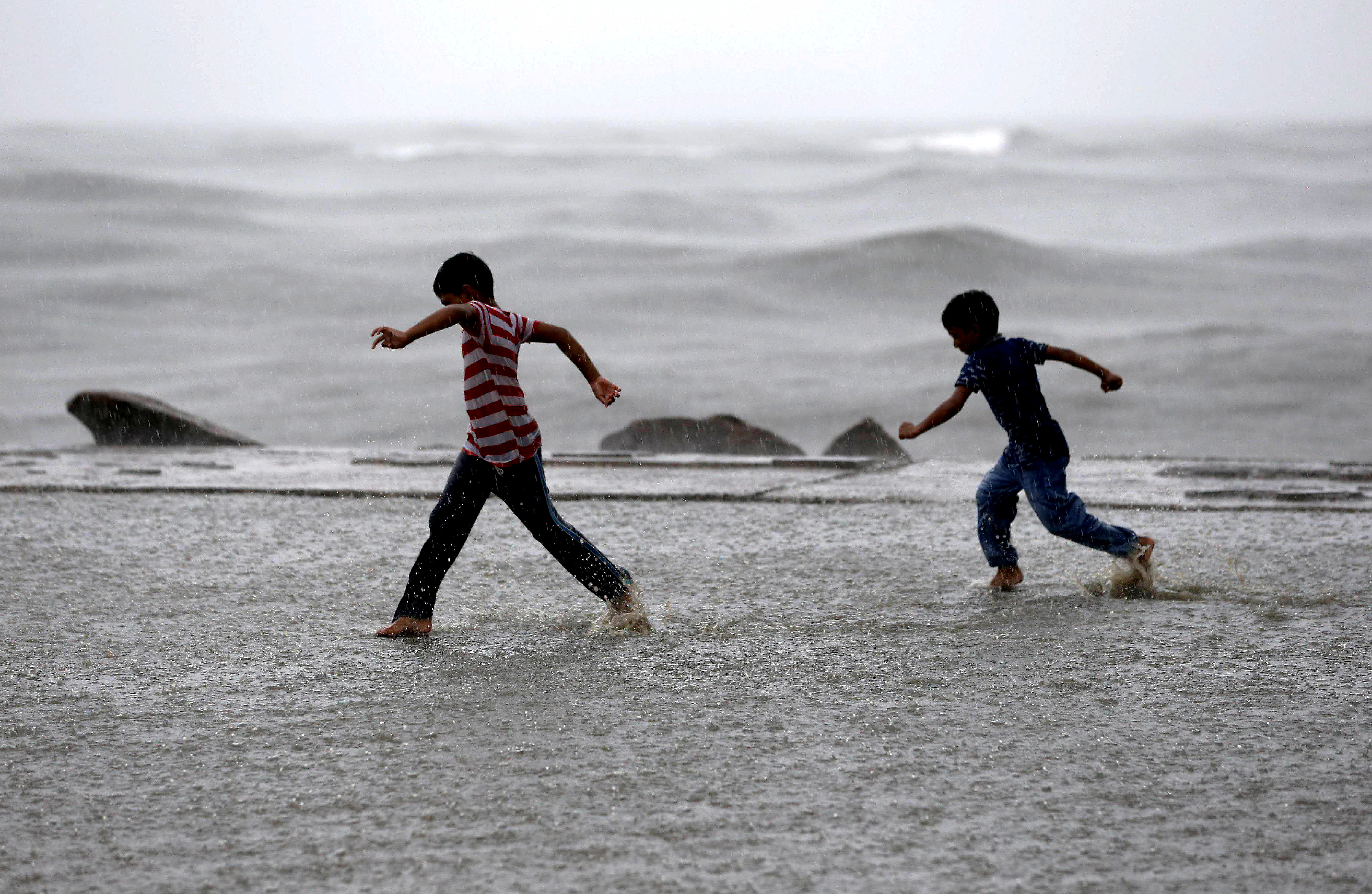
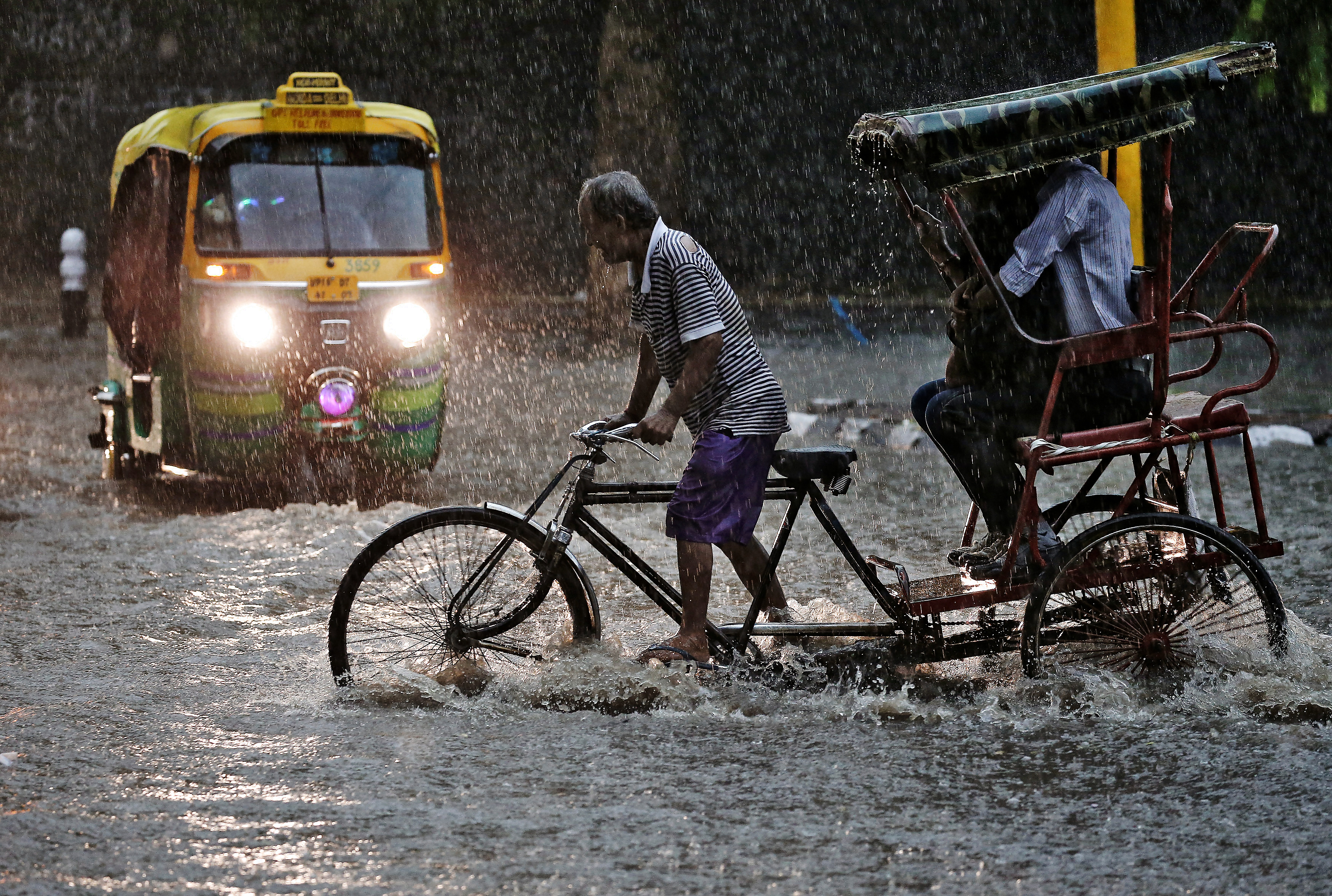
In a relief for the agriculture sector, India is expected to get normal rainfall during the southwest monsoon season despite the evolving El Nino conditions, the India Meteorological Department (IMD) said on Tuesday.
The IMD prediction comes just a day after a private forecasting agency, Skymet Weather, predicted “below-normal” monsoon rains in the country.
Why is the Monsoon Forecast Important?
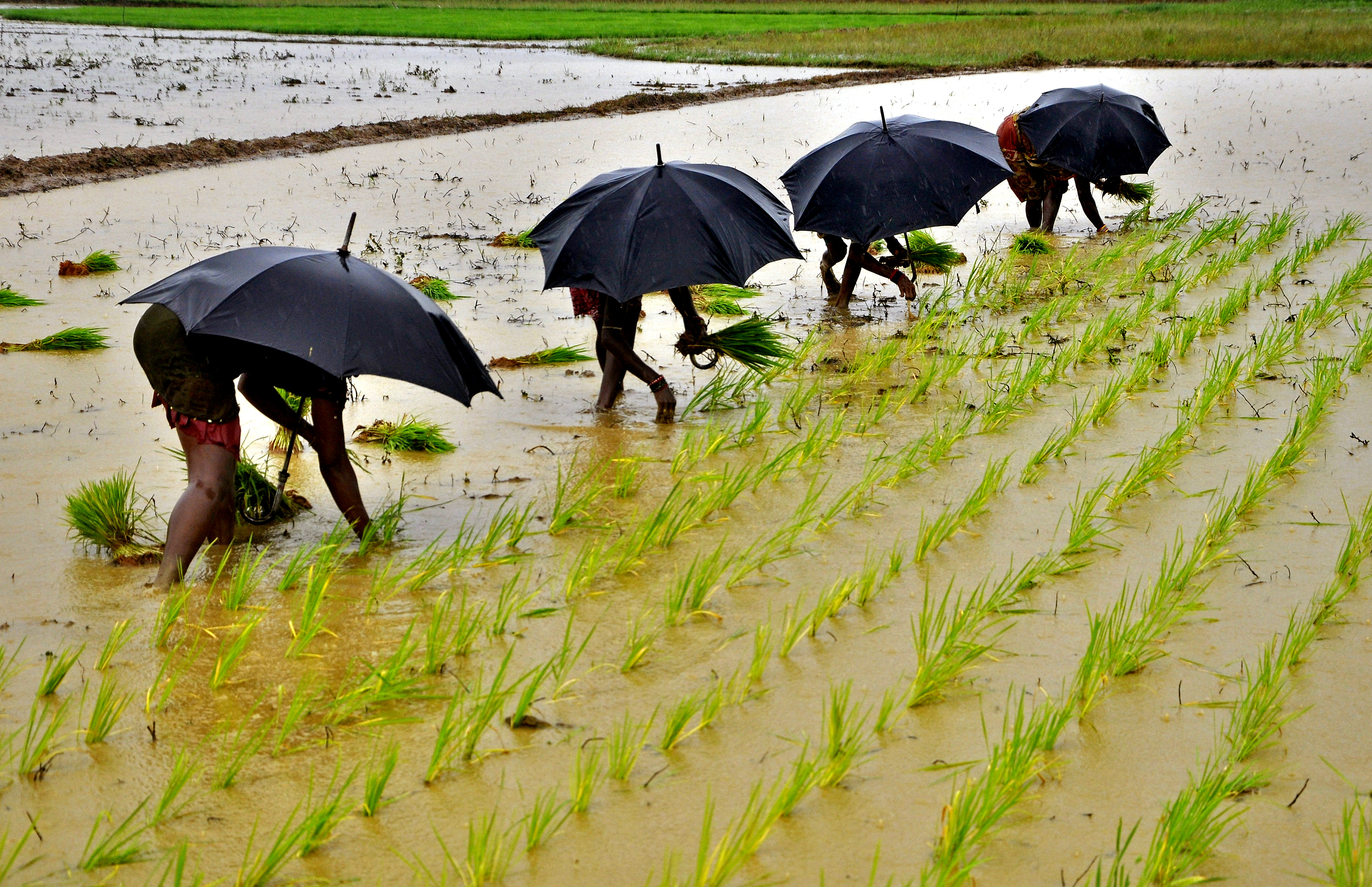
Rainfed agriculture is a critical component of India’s agricultural landscape, with 52 percent of the net cultivated area relying on this method. It accounts for about 40 percent of the country’s total food production, making it a crucial contributor to India’s food security and economic stability.
El Nino, which is the warming of the waters in the Pacific Ocean near South America, is generally associated with the weakening of monsoon winds and dry weather in India. “India to see normal rainfall during the southwest monsoon season (from June to September). It is likely to be 96 per cent (with an error margin of 5 per cent) of the long-period average of roughly 87 cm,” M Ravichandran, Secretary, Ministry of Earth Sciences, said at a press conference.
What did IMD Forecast Say?
There is a 67 per cent probability of normal to above normal rainfall, said M Mohapatra, Director General of Meteorology, IMD. Starting 2019, India has already seen four consecutive years of normal and above-normal rains during the monsoon season. Mohapatra said normal to below-normal rainfall is predicted over parts of northwest India, west-central and northeast regions during the southwest monsoon season. “Normal rainfall is likely over many parts of the peninsular region, adjoining the east-central, east, northeast areas and some parts of northwest India,” he said.
The Met department head said El Nino conditions are likely to develop during the monsoon season and its impact may be felt in the second half. Mohapatra, however, added that not all El Nino years are bad monsoon years and that 40 per cent of the El Nino years in the past (1951-2022) received normal to above-normal monsoon rainfall. According to the IMD, rainfall between 96 per cent and 104 per cent of a 50-year average of 87 cm is considered ‘normal’.
Studies indicate a stronger inverse relationship between El Nino and rainfall during the second half of the monsoon season. The senior meteorologist said positive India Ocean Dipole (IOD) conditions are expected during the southwest monsoon season and the snow cover over the northern hemisphere and Eurasia was also below normal from December 2022 to March 2023.
The IOD is defined by the difference in the sea surface temperatures between the western parts of the Indian Ocean near Africa and the eastern parts of the ocean near Indonesia. A positive IOD is considered good for the Indian monsoon. Lower snow cover over the northern hemisphere is also considered favourable for the subsequent southwest monsoon rainfall over India.
“If at all there is any adverse impact due to the evolving El Nino conditions during the monsoon season, it is likely to be countered by the favorable impact of positive IOD and the lower snow cover over the northern hemisphere,” he said.
What did Skymet Forecast Say?
India is likely to experience below-normal monsoon rainfall this year, with a 20 per cent chance of drought due to the end of La Nina conditions and the potential for El Nino to take hold, private forecasting agency Skymet Weather said on Monday.
Skymet expects the monsoon rainfall to be around 94 per cent of the long-period average (LPA) of 868.6 mm for the four-month period from June to September. The private forecaster also predicted that the northern and central parts of the country may see a rain deficit, with Gujarat, Madhya Pradesh and Maharashtra expected to witness inadequate rains during the core monsoon months of July and August.
Punjab, Haryana, Rajasthan and Uttar Pradesh, the agricultural bowl of north India, are likely to observe less-than-normal rains during the second half of the season.
In a statement, Skymet said: “20 per cent chance of drought (seasonal rainfall that is less than 90 per cent of LPA).” It said there is no chance of excess rain (seasonal rainfall more than 110 per cent of the LPA), a 15-per cent chance of above normal rain (between 105 per cent and 110 per cent), 25-per cent chance of normal rain (between 96 per cent and 104 per cent) and 40 per cent chance of below normal precipitation.
Jatin Singh, managing director of Skymet, said the return of El Nino could presage a weaker monsoon this year.
“La Nina has ended. Key oceanic and atmospheric variables are consistent with ENSO-neutral conditions. Likelihood of El Nino is increasing and its probability to become a dominant category during the monsoon is growing large,” Singh said.
However, Skymet also noted that the Indian Ocean Dipole (IOD) could steer monsoon and negate the ill-effects of El Nino when sufficiently strong.
But Why Different Forecasts?
Obtaining vast volumes of information about the status of the atmosphere and the surface of the Earth, such as temperature, humidity, and wind conditions, is the basis of contemporary weather forecasting, explains a report by the Guardian. Extrapolating from available observations and previous forecasts helps to fill in data gaps. This serves as the beginning point for forecast models, which are collections of equations governing physical and chemical processes.
Supercomputers called “petaflops” that are able to perform one quadrillion calculations per second are fed with all of this data. Due of the complexity of forecast models that approximation atmospheric dynamics, these are required. The complexity of these models has increased as science has developed. In order to explore the probabilities of various outcomes, forecast models are run repeatedly using slightly different starting data thanks to the increased number-crunching capability of “ensemble forecasting,” the report says.
The answer boils down to the fact that each agency makes use of its own algorithms and formulas to forecast the weather. “You start with the same fundamental mathematical equations that govern the motion of the atmosphere. But the coding is different,” Meteorologist Jeff Masters, founder of Weather Underground told the Virginian Pilot.
Every forecaster begins with the same unprocessed information, a “firehose” of data coming in from satellites, radar, and weather stations all around the world. They must next select how to analyse the data and which factors are pertinent in each circumstance, a report by Mental Floss explains.
More observations are available to certain forecasters than others. Additionally, they employ various algorithms based on several forecast models with various degrees of detail. Some apps merely produce predictions based on computer models, but others work with meteorologists to monitor and make corrections, particularly during unusual or extreme weather, the Guardian report says.
With inputs from PTI
Read all the Latest Explainers here


Comments
0 comment