
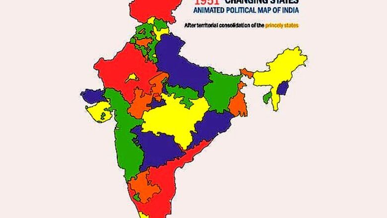
A look at the political map of India over the last six decades years would give an appearance of it being in a constant state of flux. It isn't only that the state boundaries have been redrawn over and over again but India's international borders have also extended (Goa, Sikkim, Pondicherry).This animated GIF map traces the changing face of the political map of the country and shows how India's innards have transmogrified.From hundreds of princely states and 17 provinces before partition, to 14 states and 6 Union Territories following the Reorganisation of States in 1956 to the proposed 29 states and 7 union territories when Telangana is formally granted statehood.From 1951 to now, six decades of the unending reorganisation of the map of Indian states and Union Territories in less than 40 seconds.


Comments
0 comment